Satellites
Indian Regional Navigation Satellite System
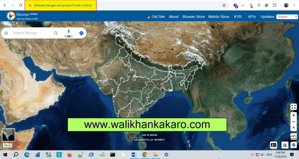
Indian Geoportal of ISRO
Website: https://bhuvan.nrsc.gov.in/
NavIC, formerly known as the Indian Regional Navigation Satellite System (IRNSS), is an autonomous regional satellite navigation system providing accurate real-time positioning and timing services, covering India and a region extending 1,500 km around it.